Hammonasset Beach State Park Map
The official Hammonasset Beach State Park map is a free one-page PDF from DEEP. The park is a long strip of sand, about two miles of it, facing Long Island Sound. The entrance is on Route 1 at the northwest corner. The campground and the West and Middle Beach lots are at the west end, and Meigs Point, with the nature center and the stone jetty, is at the east end. A salt marsh preserve fills much of the land behind the eastern half of the beach.
The Park at a Glance
Official Maps to Download
- Park map: the whole park, with roads, lots, bathrooms, picnic pavilions, swimming areas, the boardwalk, foot paths and the nature preserve.
- Campground map: every section and site number. Our campsite map page explains it.
- Boat launch map: where to carry a canoe or kayak in, east of the Meigs Point jetty.
DEEP's park map is dated July 2012, so check signs in the park for anything newer.
Reading the Map From West to East
The Entrance and the Campground
You drive in from Route 1 (Boston Post Road), where the park road meets the road north to I-95. The ticket booth is on the entrance road, and the park office sits off Route 1 just east of the entrance. The campground takes up the northwest corner, between Route 1 and the beach, with its own amphitheater and dumping stations.
West Beach and Middle Beach
The busiest part of the park runs along the western half of the shore. Several big parking lots sit right behind the beach, with bathrooms, concession stands and picnic areas between them and the sand. Three of the park's four picnic pavilions are here, numbered 1 to 3 on the map. The boardwalk runs along the dunes in this stretch. DEEP marks swimming areas along the beach, and it allows daytime fishing from the West Beach jetty.
The Traffic Circle
The main road from the entrance ends at a traffic circle in the middle of the park. From there, one way leads to the western lots and the other follows the shore southeast toward Meigs Point. If you're heading to the nature center, bear left at the circle and follow the Meigs Point signs.
The Road to Meigs Point
Southeast of the circle, the road and the paved path run side by side with the beach on one side and the salt marsh on the other. More lots, bathrooms and swimming areas sit along this stretch.
Meigs Point
The east end of the park is Meigs Point: a large lot, the Meigs Point Nature Center, a bathhouse, a concession stand, picnic pavilion 4 and viewing stands over the marsh and the Sound. The stone jetty sticks out from the point, and the car-top boat launch is on its east side.
The Natural Area Preserve and Willard's Island
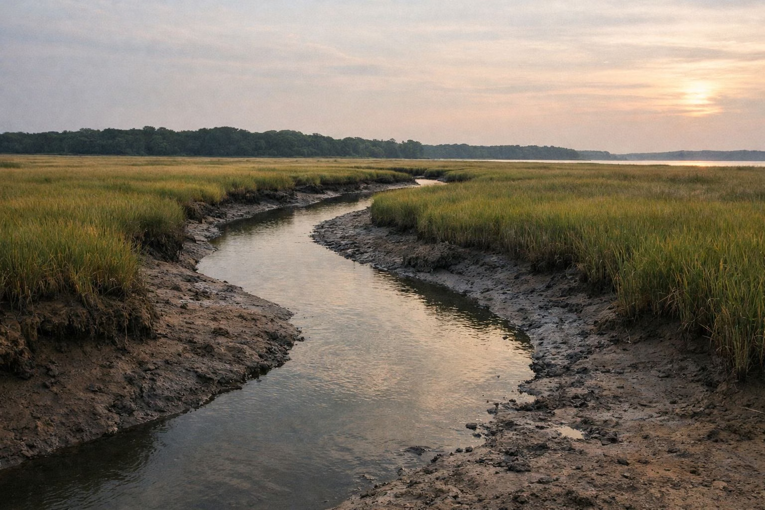
Behind the beach, between the main road and the Hammonasset River, the map shades a large area as the Hammonasset Natural Area Preserve. It's mostly salt marsh, with a looped path and viewing stands marked inside it. DEEP's Willard's Island Nature Trail is the paved loop that takes you into this marsh.
Paths and Trails on the Map
DEEP's map notes that every trail and foot path in the park is non-motorized and multi-use. These are the named routes DEEP lists:
- Hammonasset Beach State Park Walk: 3.4 miles, paved path and boardwalk, from the nature center to the west end of the beach.
- The BURT trail: DEEP calls it three miles, for bikes, from West Beach to Meigs Point.
- Meigs Point Trail: 1.4 miles around the rocky shore of Meigs Point.
- Willard's Island Nature Trail: 1.1 miles, a paved loop in the marsh.
Picnic Pavilions
The four open-air picnic shelters on the map can be rented. Three are 20 by 60 feet and one is 20 by 33 feet. Each holds 65 people, with 12 picnic tables and two charcoal grills, but no electricity or running water. DEEP takes reservations for the summer season through ReserveAmerica, and the rest of the year they're first come, first served.
Getting Your Bearings
The shoreline faces roughly south onto Long Island Sound, so the water is in front of you and Route 1 behind you. The park's street address is 1288 Boston Post Rd., Madison, CT 06443. For driving directions and the parking lots, see our parking page.
Park Map FAQ
Where can I get a Hammonasset Beach State Park map?
DEEP publishes a free one-page park map as a PDF, linked from its Hammonasset page. A separate PDF shows the campground.
Where is Meigs Point at Hammonasset?
At the far east end of the park. From the traffic circle, bear left and follow the Meigs Point signs to the end of the road.
How long is Hammonasset Beach?
DEEP describes it as two miles of sandy beach on Long Island Sound.
Where are the picnic pavilions at Hammonasset?
Three are along West and Middle Beach and one is at Meigs Point. They rent through ReserveAmerica in summer.